Finding the spot
There are usually no markers on the ground to indicate the position of the grave. We hope that the following methods will help you to relocate the grave. If you need any further help, please contact us.
Using what3words
1: Install the free mobile app on your phone (available here on the App Store, and on Google Play
2: Enter the three-word address either by typing, scanning or speaking to the app, or by choosing the address from the saved list of addresses (if any).
3: Choose the Navigate button at the bottom of the screen and then in the Get Directions pane choose What3Words Compass
4: The app might ask you to calibrate your phone’s compass by moving it in a finger-of-8 motion. When you are done, it will display the address with a compass arrow and a distance away.
5: Simply set off in the direction of the arrow and keep following it until the distance shown is 1m or below and you will have found the spot you’re looking for.
what3words is a really simple way to talk about location. They have divided the world into a grid of 3m x 3m squares and assigned each one a unique 3-word address.
It means anyone can accurately find any location and share it more quickly, easily and with less ambiguity than any other system. We now provide the what3words (W3W) address of every grave, as well as the GPS coordinates.
For example, our W3W office address is sweetened.retire.hours(which is much easier to remember than the GPS coordinates 51.812633, -2.7152923).
PLEASE NOTE – If you simply click on a what3words link it will take you to their website which does not have the compass feature. You need to choose the option to get the free what3words mobile app.
How to use what3words
Here is more information about how to use the what3words app.


Using longitude and latitude coordinates
Enter the longitude and latitude into the map app on your phone. The position of the grave will be shown by a red pin. Press ‘Directions’ from your current location and begin navigation.
Your own position is shown by a blue dot with a small arrow to indicate the direction of travel. You will see the blue dot moving across the map as you walk.
You will have reached the grave when the blue dot coincides with the red dot under the red pin. Bear in mind that accuracy is no closer than 4m.
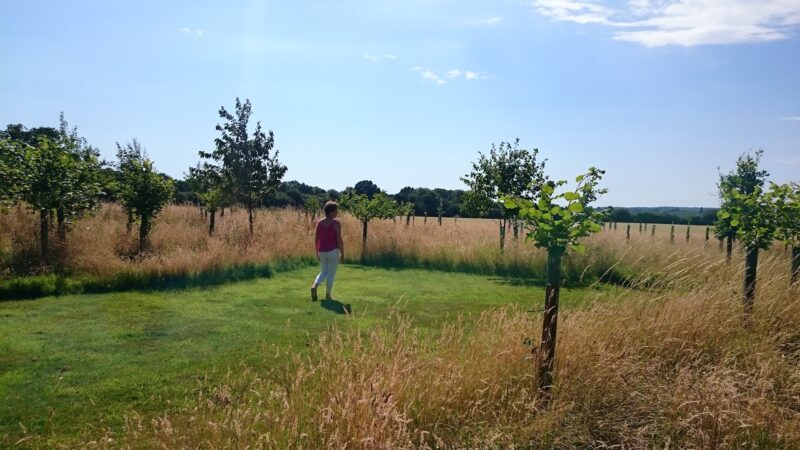
Use tape measures
Using two permanent ground markers at the burial ground and two 50m tape measures, it is possible to pinpoint the head of the grave. The grave location plan will provide you with the details of which permanent ground markers to use and the measurement from each marker to the grave.
Using the Sample PDF as an example: Measure 17.06m from the first permanent ground marker (K), and measure 38.29m from the second (J). As seen in the photo to the left, cross the two tape measures at the measurement points indicated by the grave location plan, and this is where the grave will be.
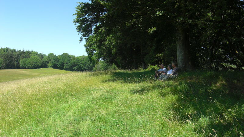
Using landmarks
Making use of nearby landmarks, such as trees, fence posts etc. can help you find the grave. Pace out strides to the grave from a landmark, aiming for a particular spot in the distance or using a compass to get a bearing.